Upland Slavery and Randolph County

Recent historic research has revealed that Randolph County may have the dubious distinction as being the location where African-American slavery began in Arkansas. Agriculture above the subsistence level in Arkansas began not in the delta lands to our east but rather in the upland river and creek bottoms of Randolph County. These properties contained very rich soil, were well drained, and were also well watered.

When Fielding Stubblefield established his farm along both sides of the Eleven Point River from what’s now Dalton to the Missouri line in 1803, he wrote in his journal that the top soil in the Eleven Point Valley was six feet deep.

Rice House, Dalton Arkansas

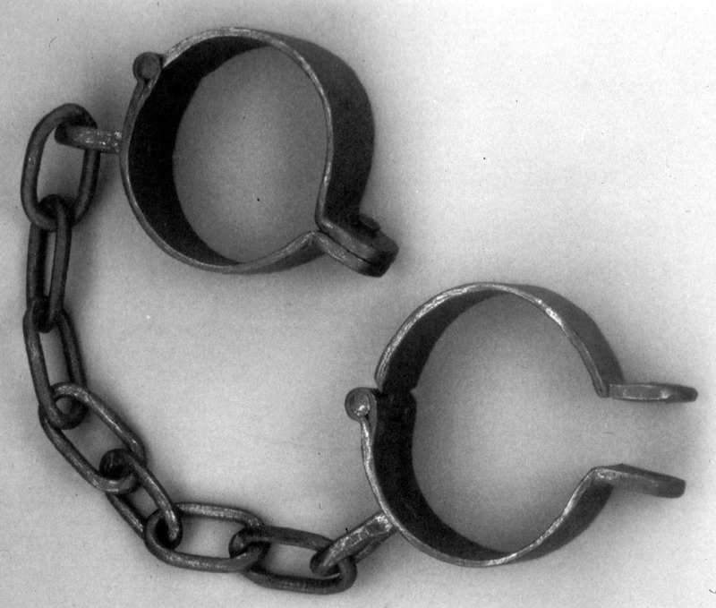
When early settlers, such as the Looneys, Rices, and Stubblefields arrived here in the first years of the 19th Century, they brought African-American slaves with them from Tennessee.

These slaves worked in agriculture, but they were also the artisans and craftsmen who built the structures such as the William Looney Tavern and the Rice House as well as serving as blacksmiths, carpenters, and in other skilled trades.

1820 and Territorial Randolph County

When The Arkansas Territory was created in 1820, the first Territorial Legislature met at Arkansas Post.  The importance of Randolph County is shown in that the three most important offices of that first legislature, President, Secretary and Congressional Representative, were all residents of what’s now Randolph County, within part of the original, huge “Lawrence County” made up of much of northern Arkansas and part of southern Missouri.

The 1820 US Census showed that 40% of the residents of Arkansas Territory lived in what was then Lawrence County even though many of the 33 counties that made up Lawrence County had already split off. Randolph County was the center of that population.

Also, 80% of the early settlers of Arkansas entered the state at Pitman’s Ferry (called The Gateway to the Southwest) in Randolph County on the Old Military Road (also known as the Southwest Trail).

Trail of Tears In Randolph County: 175th Anniversary

In November, 1838, twelve hundred Cherokee and Creek Indians left northern Alabama on a forced march to Oklahoma, where the government was forcibly relocating them. They crossed Tennessee into Kentucky in an unusually cold winter. They then crossed the Mississippi into Missouri and took the Old Military Road (Southwest Trail) into Arkansas.

They crossed into Arkansas on December 9, 1838, by fording the Current River at a spot still called Indian Ford, approximately 500 yards upstream from Pitman’s Ferry. They would have to ford (swim across) four of Randolph County’s five rivers in the cold of December.

We have eye witness accounts of their burying eight of their party near the community of Supply. An eyewitness account of the party when they camped at Foster’s Ford on the Fourche River and a newspaper account of their overnight stay at Old Jackson attest to the pitiful condition of the travelers and the great emotions they caused in any who witnessed their plight.

The Benge Route of the Trail of Tears, which runs from extreme northeast Randolph County to just south of Imboden, is now part of the National Park Service’s National Trail system (to be marked with signage later this year) and is one of three Arkansas Heritage trails that run through historic Randolph County.